Springville to Salt Lake City

I like America.  There's never been a town I wouldn't go back and revisit.  That is, until now.  Salt Lake City.  A truly horrible city.  It's the bastard child of Disneyland and Stepford Wives.  The kind of place where you wouldn't be surprised to be followed by a Mormon Agent, or see listening devices checking you weren't  say anything disparaging against their batshit crazy religion.  I've explored an abandoned TB hospital deep in rural Arkansas and even there I didn't feel the overwhelming feeling of dread in this horrifically anodyne hole.  For unexplainable reasons adrenaline was rushing through me causing my heart to beat heavily in my chest,  Salt Lake City was rejecting me every bit as much as I was rejecting it.  The only plus side is that I know that I will never ever have to return to this god-forsaken pit.

_MG_1938.jpg
IMG_1959.jpg

We threw the car back at Alamo and went to sit in the airport and wait for the flight.

Did I mention that I really didn't like Salt Lake City.  At all.

Springville

We stayed local today as after over two-thousand miles of driving it's time for a little amble.

Ten minutes in the car took us to the Springville Museum of Art.

IMG_1802.jpg
IMG_1835.jpg
IMG_1791.jpg

Someone (it was me) left their spare camera battery back at the hotel so we drove back, then went on to the Radha Krishna Temple.  I had some interesting conversations.

_MG_1891.jpg

Back to the hotel again to start packing.  Somehow we were massively over our luggage allowance so rather than leave things behind we paid for an extra suitcase.  Off to the Mighty Walmart to grab a cheap one.

Near to to Walmart was a large field of what looked like watermelons.  I went to take a photo but no - they were something else - hundreds of crazy sharp burrs.  So sharp were they, they drove right through the soles of my shoes and into my feet.  It hurt every bit as much as you'd think.

_MG_1900.jpg

With our new suitcase, it seemed a shame not look for books.  Popping into a bookshop we found it was a Mormon shop.  If you want a painting of Jesus this is definirelt the shop for you.

IMG_1907.jpg

Day 18: Helper to Springville

IMG_1670.jpg

Yesterday Afternoon.

Me: Do the trains run all night?

Motel Owner: No, they shouldn't do.

1AM: TOOOOOOOOOOT

2AM: TOOOOOOOOOOT

3AM: TOOOOOOOOOOT

IMG_1736.jpg

We had breakfast at the Balance Rock Eatery & Pub.  We'd had lunch there at the very start of the trip.  The food is great, but the music choices are... not.

All fed with potatoes and egg we drove down the end of the town to walk around the Western Mining & Railroad Museum.  We figured it was a tiny little one-room museum, but it was huge and we spent about ninety minutes looking around.  Everything in the museum was donated locally.

IMG_1713.jpg
IMG_1687.jpg
IMG_1684.jpg
IMG_1698.jpg
IMG_1690.jpg

For the final two nights we're going to stay in the same hotel that we first stayed in on our first night.  

The evening was spent trying to get our luggage packed and down to the right weight.  The plan - currently - is the pay for an extra bag.

Day 17: Green River to Helper

We left our hotel.  Can you see it dwarfed by the mountains?

IMG_1506.jpg
IMG_1521.jpg

We drove into the main part of the town.  Green river - population 900 (though it feels less).  Lot of buildings and signs to photograph.

More importantly, however, was the coffee shop.  We'd brought a typewriter with us to use as a prop to photograph with writer Jules in the Albuquerque desert.  We knew it was too heavy to take back, but it had a name.  Qwerty.  You can just dump something when it has a name.  Because it was used in Albuquerque Jules had changed the name to Albuqwerty.  It couldn't come back with us, but couldn't just be dumped.  We knew we had to find someone to give it to.

The coffee shop in Green River was perfect.

Goodbye, Albuqwerty - we hope you'll be happy in your new home.

IMG_1567.jpg
IMG_1544.jpg
IMG_1527.jpg

Green River had so many midges they've had to install their own protection system.

IMG_1557.jpg

An amble up to the hotel via a cool 50's type diner and Walmart (Living the American Dream) we arrived at the hotel.  Well, it's... Out of the back window, it's nice. See how delightful it is?

_MG_1602.jpg

But, the front.  A railway track with massive trains with very loud horns.

_MG_1601.jpg

We took a walk to the end of town which has a great old gas station.  Picked up some milk and back to the room for a coffee with something other than "half and half" in it.

_MG_1642.jpg
_MG_1630.jpg

Day 16: Kayenta to Green River (Utah)

We're flying back on Friday and so have four days to drive over six-hundred miles so today it's a case of getting a lot of miles done.  It was made easier that we got to drive through Monument Valley

_MG_1334.jpg
_MG_1301.jpg

Lunch at the Olde Bridge Grille.  Where was it?  Oh, in a town called Mexican Hat.

IMG_1359.jpg

Who'd name a town Mexican Hat?  I know, I wondered the same but then Jane pointed at this.

_MG_1367.jpg

A museum, some buildings but finally 224 miles done.

Really tired.

A much easier day tomorrow.

Day 15: Window Rock to Kayenta

Up and breakfast.  Everyone in the hotel breakfast room was a Native American bar us.  Fed and Coffee'd we headed a mile or so up the road to see the Window Rock after which the town was named.

At its base was the  Navajo Code Talkers Statue.  The Code Talkers where Navajo Marines, whose language was used as a unique and cryptic tactical communications code in battle.

Β 

Into Ganado, and into the Hubbell Trading Post.  You can things from a tin of spam to a $450 Navajo Rug.  We bought a small pot of ointment good for aches and paints which we'll rub on Jane's elbow.

IMG_1095.jpg

Onto I-95 North towards Kayenta.  We could see Monument Valley in the distance.  Then there was the great plan to travel thirty miles West to go and a town called Pinon.  We'd seen Pinon Coffee advertised in a few places, but didn't know anything about the town.  To be honest the fact that every single sign on the way was covered in so much graffiti that you couldn't read it should have been a warning.  We ploughed on.  Getting there we pulled into the parking lot, looking around - looked at each other - turned the car around and started to make the thirty mile journey back to where we'd come from.

_MG_1127.jpg

We got to our hotel which is about twenty miles from Monument Valley which we'll hit first thing tomorrow.

Day 14: Albuquerque to Window Rock (Arizona)

Today we set off for Window Rock (or, TsΓ©ghΓ‘hoodzΓ‘nΓ­ in Navajo).   This takes us into a fourth state.  We'd only planned on three.  But, Arizona here we come.  The journey takes us through Gallup (murder capital of New Mexico)  which we know sits on Route 66 as we stayed there last year. 

We saw a sign for Route 66 so came off the highway and started on down it before...  A u-turn and so back onto the highway we went.

_MG_0907.jpg

After a short while we saw a second sign at Los Lunas, so again we pulled off the highway and started down Route 66.  Look away now if you don't want to see how that panned out

_MG_0908.jpg
_MG_0911.jpg

Third time lucky.  We ended up in Mesita (Population 804, just 10.7 square miles in size and a quarter of the residents living under the poverty line).  A sign on the approach stated a bunch of rules including; No Photography, No Sketching, No Tape recording.  

The little town consisted of buildings in various states of repair, but with three to four cars outside each.  In the yards of most houses were small round adobe ovens called a 'Horno'.

Onwards we came across a big rock.  I know.  Another big rock.  Wedged into a gap was a framed photo of a couple on a bike containing the text; "Klaus Dorrer 30.04.1956 - 08.03.2012.  Aalen, Germany."

_MG_0919.jpg

Route 66 continued on through Laguna and we started to recognise places from last year.

_MG_0920.jpg

Ever onwards and into Budville. 

_MG_0935.jpg
Crime along Route 66 back in the day was actually pretty rare. It wasn’t because times were better then than now or people themselves were better and had more regard for their fellow human beings; at least to some degree it was because in most towns along the Mother Road, the only way into and out of town was Route 66. With no other way to get out of town and nowhere to hide in the small towns, criminals just didn’t stand a chance of getting away with much. In 1967 though, a crime was committed in Budville, New Mexico that shocked locals and travelers alike.

Budville was named after β€œBud” Rice who, beginning in 1928 with his wife Flossie, built and operated a gas station, garage, grocery store, post office, and wrecker service on Route 66 west of Rio Puerco out in the middle of nowhere. He also sold bus tickets, owned the local State Motor Vehicle Department concession, and got himself elected Justice of the Peace. He liked to claim he was β€œThe Law West of Rio Puerco” and did not hesitate to use this position to increase his business dealings. The fines he charged speeders caught in his speed trap were extraordinarily onerous and he antagonized other wrecker services by passing a law which declared all wrecks east of the Rio Puerco were the domain of Albuquerque, all those west of the Rio Puerco were his and those on the bridge belonged to whomever got there first.

Although he had a kind, generous side for kids (he often bought shoes in the winter for the poor kids who lived in the area), he was well-known for being testy with most people. He often stated to anyone that would listen that he didn’t care if anyone liked him or not. One time a traveler complained about the price Bud charged for putting a new fan belt in his car. Bud simply took out his large pocket knife and cut the new belt off. When the driver complained again and asked, β€œWhat do I do now?” Bud told him he should move his car across the street unless he wanted to pay storage charges to his garage. The motorist pushed his car across the street and arranged for a friend to bring him a new belt which he installed himself the next day. Before he left though, he had to pay Bud for parking his car overnight since Bud also owned the property across the street from the garage.

On the night of November 18, 1967, after 39 years in business, Bud, Flossie, Blanche Brown, an 82-year-old retired school teacher who worked part-time at the trading post, and another employee were getting ready to close the store when a desperado entered to rob them. Before it was over, Bud and Blanche lay on the floor dead. The gunman then ran out the door and disappeared, leaving Flossie screaming, but unhurt and the other employee hiding in the bathroom. It was a gruesome scene and the site soon was being called, β€œBloodville.”

State authorities soon arrested a young sailor who had been seen hitch-hiking in the area when Flossie identified him as the killer in a line-up. In spite of the ID by Flossie, there was no other evidence which pointed to him and indeed, there were a number of people who said they had been with him or seen the sailor in a location miles from the scene of the crime at the time it happened. He was released for lack of evidence and the crime went unsolved for several years.

The police eventually caught a break when 3 criminals agreed to tell what they knew about the Budville murders in exchange for lighter sentences for crimes they had been convicted of. They all fingered a young drifter by the name of Billy Ray White, a man with a long criminal history, and provided numerous items of proof. Eventually, after the FBI placed Billy Ray on their 10 Most Wanted list, he was found, apprehended and stood trial.

Flossie this time identified Billy Ray as the killer and with the proof presented, it seemed sure that the accused would be convicted and justice would be served. However, the defense lawyer made sure Billy Ray was clean-shaven, wore a nice suit and looked nothing like the dirty, scroungy individual he had been when the crime was committed. In fact, he cleaned up so well he looked just like one of the clean-cut, innocent young high-school boys who attended the trial as part of their civics class. The defense pointed accusing fingers at a multitude of possible scenarios to throw doubt into the juror’s minds. Did Flossie have something to do with the crime? After all, she did get married again an embarrassingly short time after her husband was murdered, and to a convicted felon at that! And why did the murderer leave her standing there alive and unharmed instead of killing her too? And if she was mistaken about the sailor she first identified, couldn’t she be mistaken this time too? And what about a possible hit being placed on Bud by rival tow truck drivers? And just a few days before he was murdered, Bud testified in a Texas drug trial - could he have been hit because of that?

Less than 2 hours after beginning deliberations, the jury returned with a verdict of β€œNot Guilty” and Billy Ray White walked out a free man. Officially, the crime has never been solved, but Billy Ray was later convicted of robbery and murder in a small store in Louisiana, just like Budville. On June 8, 1974, he died an apparent suicide in a Louisiana State Prison after supposedly confessing to his cell mate that he did indeed commit the crime in Budville.

Abandoned ruins around Budville
After the murders, Flossie and her new husband continued to operate the businesses in Budville until he was killed in a fight in 1973, dying just 3 feet from where Bud had died in 1967. Flossie married for a 3rd time and passed away of natural causes in 1994. After 66 years in business, the Budville Trading Post finally closed.

After being sold, re-opened as the Budville Trading Company and closed again, the building today is probably one of the most photographed landmarks of Route 66 in New Mexico. Standing about 30 feet from the highway shoulder, it is just an abandoned, 1-story, white cement-block building with a large non-functioning neon sign in front. Its only function now is to serve as a fascinating reminder of one of the legends of Route 66.
— http://1dustytrack.blogspot.com/2012/12/route-66-sad-story-of-budville.html

Soon we were into San Fidel.  It has a pleasing sign saying; "Geezerville".  I've no idea why.

_MG_0950.jpg

Into Grants there were loads of great old, rusting signs to photograph. 

_MG_0987.jpg

Nestled between a Sonic Burger and a McDonalds was the 1st Street Cafe.  A no-brainer.  A father was arm-wresting his son inside.

_MG_0991.jpg

On the door of the cafe was a sign saying; "Guns are welcome on the premises. Please keep all weapons holstered unless a need arises.  In such a case, judicious marksmanship is appreciated."  I went to ask the owner if this was serious, or a joke.  She said that a guy had come into the cafe and put his gun on a table.  New Mexico is open carry so they couldn't ban guns, but the sign seemed to the best way to tell people they could bring guns in but to be careful.  While I was asking about this a customer inserted himself into the conversation.  He acted as a good example of how it's pretty impossible to have a nuanced conversation about gun control and legislation with an American who loves guns.  The word liberal was bandied about a lot.  I've been entirely sure what liberal means when used by certain Americans.  To him, it meant "people who hate guns and hate successful people."  By "successful people" I took it to mean Capitalism versus Socialism.  We shook hands and no one got shot.  Jane said that during the chat everyone else left the place, but I'm sure that was a coincidence.

The more we drove the more things we recognised from last year's trip.  Passing the small shop in Bluewater Village we chatted to the owner that we remembered from last time.  Jane bought a small butterly coaster.

Back on the road, at Continental Divide, we had to rejoin the I-40 and made good progress to our hotel at Window Rock

Red Rocks at Window Rock.jpg

Day 13: Santa Fe to Albuquerque

_MG_0819.jpg

A little lay in and then we all had breakfast at the Inn.  We walked back into old town past many coloured doors.

Lots of people selling near-identical things along the road outside the Palace of the Governors (the Palace was built in 1610).

The city of Santa Fe, founded by Spanish colonists in 1610, is the oldest city in the state and the oldest state capital city in the United States
— https://en.wikipedia.org/wiki/Santa_Fe,_New_Mexico
IMG_0826.jpg
IMG_0839.jpg

The highlight of the day was the first good cup of coffee I've had in America this trip.  A TINY store (cupboard) called the 'Holy Spirit Espresso'.  It was definitely a sign.

Moved by the Spirit of Good Coffee we went to the Catholic church.  It was every bit as kitschy as you'd expect it to be.

Santa Fe, as with a lot of New Mexico towns are full of Sugar Skulls.  I do like a good Sugar Skull.

We'd left the car back at the hotel after check out, so we wandered our way back as we had to drop Jules at the airport at 430pm.

IMG_0858.jpg
IMG_0845.jpg
_MG_0904.jpg

On the way to Santa Fe, we'd seen signs to 'The Mormon Batallion'.  We'd come off to the interstate but hadn't managed to find it.  On the return, we saw the sign again and we weren't to be beaten and this time - success.  Totally not worth it.

A pizza on the way through.  Freshly made and as nice as the one we had back on Monticello.

After dropping Jules back at the Albueqyerque Sunport Airport we headed back to the hotel we'd been the night before last and crashed.

Β 

Day 12: Albuquerque to Santa Fe

Up early again to the location for the actual photos this morning.  It was the place in the show Breaking Bad in which the main character first cooked his drugs.

After an hour of photos, we went back to the hotel to pack up the car, then drove down the road for a well-earned breakfast at the fast food place that was used in the same show.  In the show is called Los Pollos Hermanos but really it's a branch of Twisters.

IMG_0812.jpg

.Full of, it must be said, not the greatest food of the trip we headed up the interstate to Santa Fe.  Our first job was to find a hotel.  We plugged in "hotel" in the GPS and it said Marriott was closest.  $180 a night.  Nope.  We looked down the list and drove to a place called the Guadalupe Inn.  Absolutely the best hotel of the trip so far.  It even had a nice balcony.

We got an Uber into town - had a walk around old town and then a meal at

We got an Uber into town - had a walk around old town and then a meal at the Plaza Restaurant that had been recommended by the front desk of the hotel.

IMG_0786.jpg

Then onto drinks at The Shed.  We all had a Lemon drop Martini.  Our resident expert said it hadn't been made properly, which would make sense as it really wasn't very nice.  I did plough through and finish it though.  Yes, I'm a champion.

IMG_0811.jpg

Day 11: Albuquerque

We woke at 5am to go down to the location for the photoshoot so we could see what the light was like as the sun rose.

Jane Brenizer Test 01.jpg

The hotel was handy so we cancelled the airport hotel and re-booked in where we were.

We picked up Jules from the airport, threw her stuff in the hotel then drove out to see Albuquerque's old town.

IMG_0269.jpg

After building up a thirst we went to bar and Jane had a white wine a lemonade, Jules a tequila and me - the designated driver - a lemonade.

Off to Denny's for dinner since it was next to the hotel.

IMG_0268.jpg

Day 10: EspaΓ±ola to Albuqeuque

We're up at 5 am tomorrow so here goes the quickest blog ever.  GO.

IMG_9859.jpg

The breakfast area offered some Free Gospel Tracts but I decided on just some toast, coffee and orange juice instead.  We jumped in the car pointing it roughly in the direction of Albuquerque.  Goodbye hotel - we'll not be back.

IMG_9860.jpg

We pulled over when we saw a sign for 'Camel Rock Road'.  I can't remember exactly why it was called that.

_MG_9864.jpg

We chalked up our thousandth mile of the trip and pulled over to take a photo to commemorate the occasion.  I'd like to say it was soemthing worthy of the occassion but it was just a road.

_MG_9888-1.jpg

Seeing that we were close (by American distances) to Cline's Corner we decided to pop over because; (a) that's where I bought last year's "Stupid Holiday Hat" (and I was still without one a week into the trip, (b) we could pick up good old Route 66 from there and take some of it on to Albuquerque.  They didn't have a hat.  The bastards.

_MG_9891.jpg

Whilst on Route 66 we passed through Moriarty and the Ria RV Park.  We half remembered seeing it last time, but today it was in total disrepair.  Of course we had a poke around.  It really makes you wonder how a business to turn into an overgrown mess so quickly.

Onwards, ever onwards.  The memorial of perpetual tears.  Cheery, right?

NM National DWI Victims Memorial is a mock federal cemetery where hundreds of white tombstones represent the most recent 5 years of state DWI fatalities. Travelers can stop at the Visitors’ Center and walk around the Memorial.
— www.roadsideamerica.com/tip/31388
_MG_9922.jpg

Look - a sign telling you about petroglyphs,  You're thinking we saw some petroglyphs, right?  Sure, I'd think that too.  We didn't.  They weren't anywhere near the sign.  If it was me I think I'd move the sign.

_MG_9938.jpg

The only actual task for the day (bar finding a hotel) was to check out the location for a photo we're taking on Thursday.  It's at a location used in the show Breaking Bad.  We needed some lat/long coordinates to locate it, but we did.  We are champions.

_MG_0127.jpg

Job done we found a hotel about forty minutes away and we'll go back and take another look in better light at 7:15am tomorrow.

Day 9: Chama to EspaΓ±ola

IMG_9836.jpg

There was no plan other than to drive South and look for a hotel when we got to a town we like.  That was the plan.  First though, breakfast.

We went to the Charma Grill which was functional and the potato and eggs were really pretty nice.  An odd feature was the separate knife, fork and spoon dispensers where you pull a little lever on the right to get one.  They'd put the dispenser too high on the wall that they'd had to put a fixed stool under this one for people that couldn't reach.  Someone actually did that.

We pushed the town of Abiquiu into the GPS.  The name rang a bell but I just couldn't think why.

The route was a single road from Chama through to Abiquiu but through lovely scenery.  The red rocks of Utah, into the pines of Colorado and now into more of a desert - though with the large hills continuing.

_MG_0064.jpg

Jane spotted a sign to the Echo Amphitheatre.  Walking up the base you can shout and hear a pretty decent echo.  Also, for the first time and in pretty much every expanse of rock you hear the angry-wasp-buzzing of someone flying a drone over it.

According to legend the curved stone cliff wall now known as Echo Amphitheater was the site where a group of Navajo executed a family of settlers. As the story goes, the victims were brought to the top of the cliff and killed, their blood running down the cliff wall and permanently staining it. Possibly in response to this legend another story says that years later a number of Navajo were in turn murdered in the same spot, once again staining the cliff wall with their draining blood. Now the natural echoing caused by the sites geography is often ascribed to the voices of the unquiet dead.
— http://www.atlasobscura.com/places/echo-amphitheatre
Panorama Echo Ampitheater.jpg

Back onto the main road, we saw a sign and suddenly remembered why the town AbiquiΓΊ felt familiar.  It's Ghost Ranch the sometime home of Georgia O'Keeffe.

_MG_0005.jpg
_MG_0048.jpg
IMG_0080.jpg

We had thought there would be a hotel in Abiquiu.  Nope. Not that we could see from driving through.

After much driving around we hit a town and finally found a hotel.  Turns out it was super cheap and you can tell.  Putting a few things from the car into the room we went to find some food.  Sitting down waiting for the food to arrive we realised we had no idea where we were and if it hadn't said on the receipt we'd have remained ignorant.

_MG_0074.jpg
_MG_0094.jpg

Day 8: Durango (Colorado) to Chama (New Mexico)

A two hour drive to Chama today.  This takes us into New Mexico - our final state of the trip.  Before leaving Durango we thought we'd give it another chance.  It has a population of 1.5 million so it can't just be what we saw when we were looking for a supermarket.  Turns out downtown is very nice.  Below is 'Iris Bridge' named after Durango Madam, Nellie "Iris" Spencer.

I enjoyed being a sporting person. Some of the guys were nice, some were sons of guns.
— Nellie "Iris" Spencer

Every hundred steps or so was a small picture of a rabbit with the slogan; "Books this way" and an arrow.  We followed them until we eventually got to some coloured chalk on the road with an arrow leading to a book store.  It was closed.

_MG_9738.jpg
_MG_9729.jpg

We hung a right to try and find some food.  Turns out Colorado is closed on a Sunday.  There were some prettily coloured houses, but food?  No.

_MG_9744.jpg

Seeing a sign for another named rock (this time Chimney Rock) we headed over.  It was closed.  How do you close a rock?  No idea, but they had.

Further down the highway, we saw the Turkey Springs Trading Post.  I saw some cheeseburgers wrapped in foil vaguely heating.  Looked like the kind of thing that would come back and bite you.  Still - I was hungry.  The sign below was outside.  I decided against stealing anything.

_MG_9754.jpg

Leaving the red rocks of Utah behind the landscape somehow knew to change and was replaced by lot of hills in what I assume were pines or spruces.

_MG_9774.jpg

And then... goodbye to Colorado and hello to New Mexico.

_MG_9779.jpg
IMG_9799.jpg

We couldn't seem to type the address into the GPS so we just headed for the centre of Chama.  We drove up and down the main street but no joy.  Back at the far end of town we stopped outside a bar and decided to go in, have a drink and ask.  The lemonade tasted like death.  We did, however, get instructions.  "Two miles down the road.  Over the river.  On the right."  Then there it was.  Booked into room 105 we unpacked then went for a small walk to stretch our legs before getting back in the car to look for old buildings to photograph.

IMG_9804.jpg
IMG_9833.jpg

On the way back we dropped into the local shop to pick up some food.  I saw some "Fireball" Cinnamon Whiskey.  It was either going to be surprisingly nice, or we'd use it to unblock a drain. (Spoiler: It was actually quite nice - in moderation.)

I was ID'd.  Me.  They asked for ID.  I had to show my driving licence.

Day 7: Monticello to Durango (Colorado)

It was nice having a house after some hotels so we made the most of it and hung around until 11 am.  The next hotel was in Durango (Colorado) and was only two hours away with a check-in time of 3 pm so we had a few hours to kill.

First port of call was the Stateline Bar & Grill just over the border into Colorado in a town called Dove Creek.  You're probably thinking; "Dove Creek - Why does that ring a bell?"  Well, it's the self-proclaimed Pinto Bean Capital of the World.  That's probably it.

IMG_9649.jpg
_MG_9623.jpg
_MG_9607.jpg

Driving out of Dove Creek we hung a quick right when we saw a town called Yellow Jacket.  Nothing but a post office (which opened in 1915).  A population of zero I suspect.  The name, I later learnt, came from the abundance of yellow jackets (a type of wasp) near the original site of the town.

IMG_9658.jpg

A quick walk around the Narraguinnep Reservoir and the back in the car to the Anasazi Heritage Center.  The centre is an archaeological museum of Native American pueblo and hunter-gatherer cultures.

IMG_9702.jpg

Around the side of the centre you can work your way up the hill and from the top you can see McPhee Reservoir.  When the reservoir was constructed it covered the original resting place of the artefacts now found in the museum.

_MG_9717.jpg

On to the hotel in Durango.  It's full and proper name is the Free and Sovereign State of Durango.  Wikipedia says it's called both "the land of the scorpions" and as "the land of cinema".  I'm pretty sure Hollywood is the land of cinema, but hey - what do I know?

The major occupations in Durango are farming, logging, mining, and ranching.

All very interesting I know.

Day 6: Monticello & Rocks

A long lie in and since we have a washing machine and dryer we put some clothes through.  The Mormon Temple looked quite pleasing in the early (ish) morning light.

_MG_9438.jpg

Lunch was at the Peace Tree Juice Cafe.  Jane bought a bracelet.  I didn't.  I do still need to find a stupid holiday hat though and time is ticking.

IMG_9450.jpg

Back home for more loafing about and then out to see some rocks with names.  First, just off  U.S. Route 191 is Church Rock.  If you remember the Home of Truth cult and the items we saw belonging to its founder Marie Ogden.  Well, Marie Ogden thought the Church Rock was the centre of the spiritual universe. 

_MG_9469.jpg

From the Church Rock we drove to the Newspaper Rock (another day - another rock).  On the way we drove past some of the remains of the Home of Truth.  You can't roam around as it's on private property but you can see some from the road.

_MG_9571.jpg
_MG_9566.jpg

Newspaper Rock is 200-square-foot and contains many petroglyphs showing human, animal, material and abstract forms.   The petroglyphs were made around 2,000 years ago, left by people from the Archaic, Anasazi, Fremont, Navajo, Anglo, and Pueblo cultures.  In Navajo the rock is called "Tse' Hone'" which translates to a rock that tells a story.

_MG_9476.jpg

Day 5: Moab to Monticello

Awake at 6 am.  Up at 7 am.  A quick breakfast and we were in the car on the way to Monticello (pronounced sello not cello).  The first stop was Ken's Lake.  Of course, we took a wrong turn and ended up going down yet another wrong road (thanks, GPS).  It took us down a gravelly path where we ended up in snakebite canyon or coyote-bite-you-leg-off underpass or wolf-chomp alley - some name like that.  After a long retrace of our steps, we found the lake.  Ken's Lake you'll be surprised to learn is named after Ken.  More specifically Ken McDougald (former Mayor of Moab).  It was the first expanse of water we've seen in a while.

_MG_9303.jpg
interior1.jpg

From the lake, we were about fifteen minutes from 'Hole in the rock' which is more impressive than it sounds.  (Yes, the GPS took us the wrong way again.)  You weren't allowed to take photos inside the house so here's one from their website and since I was there - and to save me typing - here's what it says. "Travelers along U.S. Highway 191 in Southwestern Utah are amazed to discover this historic 5,000 square foot home which began taking shape almost a century ago by the Christensen family. What began as a small alcove for the young Christensen boys to sleep in at night grew into a man-made engineering marvel 20years in the making. A fireplace with a 65' chimney,14 rooms arranged around huge pillars and a deep bathtub built into the rock delight visitors who visit this most unusual home in the dessert. Original furnishings, Alberta's paintings, Gladys's doll collection and many of the tools used to create this home remind you of the past.

In a 12 year period Albert excavated 50,000 cubic feet of sandstone from the rock. During this time he completed his famous painting Sermon on the Mount and his sculpture of Franklin D. Roosevelt on the face of the rock above his home.

When Albert died in 1957, the home was not complete. Gladys's in keeping with his wishes & lifelong dreams continued to develop the property, opening a gift shop and giving tours of her home until she passed away in 1974. Gladys is laid to rest next to Albert in a small cove within the rock near the home."

_MG_9307.jpg

Jane was more pleased that the Hole in the Rock contained a petting zoo, though since it had raccoons and the like which would have your hand off as quick as look at you, petting really wasn't advised.

With hands intact, we continued towards Monticello via Wilson's Arch.  Again, naming inanimate objects after people.  In this case after Joe Wilson, a local pioneer who had a cabin nearby in Dry Valley.

_MG_9359.jpg
_MG_9378.jpg

We'd rented a house for two nights, but check-in wasn't until three and we got into town by at twelve so we went and had a nice hand-made pizza.  Much excitement from the owners that their Coke Fridge was being swapped out for a Pepsi Fridge.  It's all go in Monticello.

Every shop window and in the back of every car is a silhouette of a bear with the hashtag; #NOMONUMENT inside.  It's protesting the move to make a piece of a land a Bureau of Land Management property.

IMG_9402.jpg

Having a proper places to stay (with an oven - get us all fancy being trusted with 'fire') we went hunting for supplies to fill the fridge up with.  That done and with more time to kill we took a drive around town.  If there's any doubt we were still in Utah then in a town with a population of just 2,213 there were two Mormon churches AND a temple.  Well, it gives you choice I guess.  We walked into the temple but a nice guy dressed totally in white said we couldn't go into the back room as it was "secret."

_MG_9407.jpg

We took a quick visit to the Frontier Museum which had some artefacts from Home of Truth whose remains lay out in the southeastern Utah desert and once comprised a religious colony that set out to be a post-apocalyptic utopia, formed in 1933 by a wealthy widow from New Jersey.  We'd definitely go for a visit but it's now on private land and isn't that accessible.  Boo. More interestingly than that is this painting which looks just like Keith Richards.  You're welcome.  Enjoy it.

IMG_9410.jpg

Eventually, 3pm came round and we could get into the house.  We presume the area is pretty safe since the key is just under the doormat (or perhaps it's because the owner is an FBI agent).

We have absolutely no idea what we're doing tomorrow.  Fun times.

Here's our house.

_MG_9370.jpg
IMG_9425.jpg

Day 4: Canyonlands National Park & Dinosaurs

The plan was to see some dinosaurs. then go to Arches National Park.  We drove past the dinosaurs and started to wend our way through the mountains.  The views were great so we carried on up and and up.

_MG_9030.jpg
_MG_9046.jpg
_MG_9104.jpg

Eventually we got to the Canyonlands National Park so it'd have been rude not to go in.  AFter seeing paintings of arches everywhere we finally go to actually see one.

_MG_9140.jpg
_MG_9161.jpg

It takes about four hours to go round the whole park and we did most of it before we headed back towards the dinosaurs we'd missed.

_MG_9257.jpg
_MG_9259.jpg

A thirty minute drive back to the hotel.  Out for another 'Dead Horse' Ale.  Grab some food and an early night.

Day 3: Moab, Yellowcat, Cisco, Sego Canyon

Asleep by 10 pm last night and not awake until 8:30 am.  Lovely.  A breakfast of way too many sausages and then into the car towards a ghost town.  Often when driving we see a promising road and decide to 'hang right' so after only twenty minutes we came off the main road and drove down a dusty path to a campsite with some nice views of the mountains.  Jane then realised that (a) the battery light on her camera was flashing, (b) her spare battery was back at the hotel so we popped back to grab it.

_MG_8776.jpg
_MG_8852.jpg

Battery installed we were back on the road again heading to a ghost town in CIsco.  Again, we saw a sign for Yellowcat.  Sounded like it was worth a visit so we hung a right and drove and drove and drove down another dusty road.  We saw what was probably a meercat but really it was just a very long empty, gravelly road which lead ever closer to mountains that you figured you'd never reach.  We turned back.

_MG_8805.jpg

Cisco was all you want from a ghost town.  Empty, Interesting buildings.  Nice and out of the way.  The town has been seen in films; Thelma and Louise,  Vanishing Point (1971) and  Don't Come Knocking.  Johnny Cash wrote the song; "Cisco Clifton's Fillin Station." (the photo below)

_MG_8889.jpg
_MG_8870.jpg
_MG_8880.jpg
_MG_8862.jpg
_MG_8899.jpg
_MG_8902.jpg

From the Ghost Town we were just about thirty minutes from Sego Canyon which we knew had some petroglyphs, but we'd heard can be hard to find.  Pffff.  We found them easily.

"Native Americans painted and chipped their religious visions, clan symbols, and records of events onto the cliffs. There are three distinct styles present which represent three separate cultures and time periods. These cultures are known to have been in the area during the past several thousand years."

IMG_8950.jpg
IMG_8948.jpg

Day 2: Springville to Moab

We may have been in bed early but alas - jetlag - for me.  I woke up at 1:30am and could I get back to sleep?  No.  Not at all.

IMG_8595.jpg

I read until it wasn't too stupidly early to leave and we had breakfast and set off for Moab.  I'd read there was a ghost town en-route in a place called Soldier Summit.  On the way to the Ghost Town we passed an iron archway to Mill Fork Cemetery so we did a completely safe u-turn and went to have a look.

To get the cemetery you walked over a bridge, which this morning was coated with a thick frost.  The cemetery was pretty small (I looked it up on a website and the official internment count is just seventeen graves, though the findagrave website lists 46).  

You can read the story of the cemetery over www.thedeadhistory.com.  If you want the short version - A mother and daughter fleeing a town with an outbreak of Scarlet Fever didn't know they were infected and so infected most of Mill Fork.  Further tragedies ensue.

Leaving the cemetery behind we got to the "ghost town" in Soldier Summit.  All that was left behind were signs saying; "Private Property" and some brick outlines of buildings.  I suspect they've mostly been cleared away for some new rebuilding work.

IMG_8602.jpg

We both very much wanted a coffee so we pulled into the nearest town.  This turned into a nice hour walking around Helper.  Surrounded by mountains it was a nice find and after a late (bigger) breakfast we had a wander around.  

_MG_8673.jpg
IMG_8713.jpg

Tiredness was starting to creep in and Moab was still hours away so we plugged on through.  Stunning mountainous scenery made the journey go pretty fast with Jane clicking her camera through the window.

Moab doesn't feel like an overly tiny town but if you look it up on Google Maps you can see it's really in the middle of nothing.

Moab.jpg

It's most unlike us on a road trip, but we're actually in the same hotel for three nights running so we walked across the road and grabbed food for the fridge.  Job done we wandered over to the Moab Brewery for a beer.  We both wisely plumped for "Dead Horse".  For an ale it was pretty nice.

Back to the hotel by 7:30pm (yes, lightweights) and an early night.

Welcome to Utah

IMG_8560.jpg

Picked up by taxi driver Simon at 11 am. He described America as both; "Wide open spaces surrounded by teeth" (a Charles Luckman quote) and "The place where they think a hundred miles is a short distance, and a hundred years a long time."   The actual quote, by Diana Gabaldon, is; β€œAn Englishman thinks a hundred miles is a long way.  An American thinks a hundred years is a long time.”

We arrived, checked in, went through security, fed ourselves and wandered over to the departure gate by 1:30 pm and were pretty much straight on the plane.

Sitting on the plane to Salt Lake City I wondered what percentage of the passengers where Mormons.

My attention span is rubbish and I wondered whether I could finish a book on the flight.  "The Virgin Suicides" by Jeffrey Eugenides is only 280 pages and the Kindle says I can read it in five and a half hours.  We'll see Kindle - Oh, we'll see.

The first distraction was a great documentary on called; "Score: A film music documentary."  Well, there was ninety minutes gone (ignoring the three times they had to reboot the whole entertainment system a few times at fifteen minutes a go).

Distraction number two was thinking about NanoWriMo.  For the uninitiated, it's a yearly challenge where you have the month of November to write a 50,000 word novel.  Last year I tapped out at 35,000 words.  This year I'll be failing to write a sci-fi thing.

The third and final distraction was to go back to reading; "The future of mind" by Michio Kaku in which I learned that on our transatlantic flight we'd experience about a millirem of radiation per hour - equivalent to a dental x-ray.

Salt Lake City airport is pretty small so we were through security in short order and had the hire car within about thirty minutes.

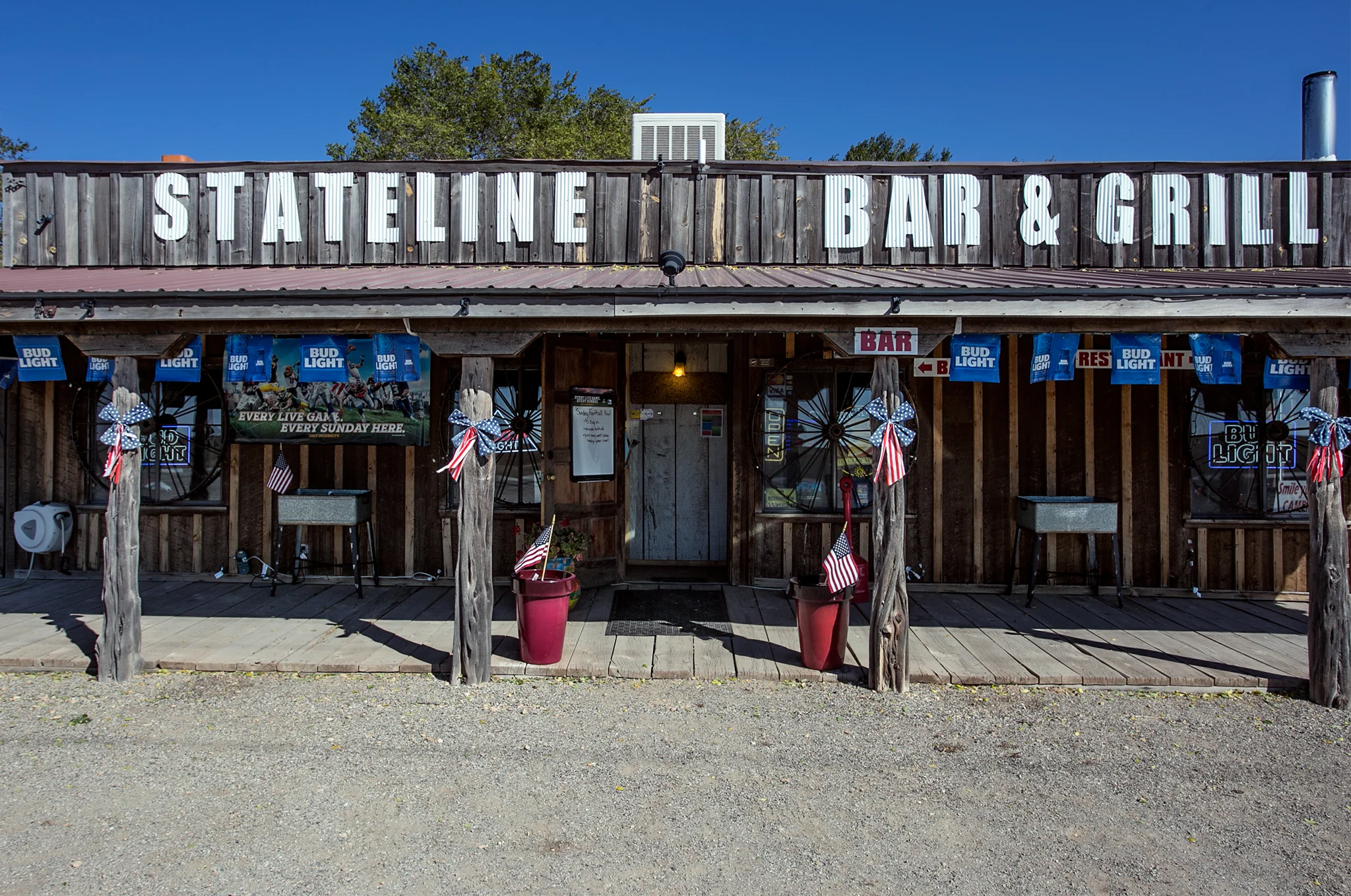
An hour's drive to the first hotel in Springville, Utah we threw the stuff in the room and headed over to one of the two options for some food.  Cracker Barrel.  Try the grits. *

In bed by 9:45pm - which, of course, in proper English time is 4:45am.  

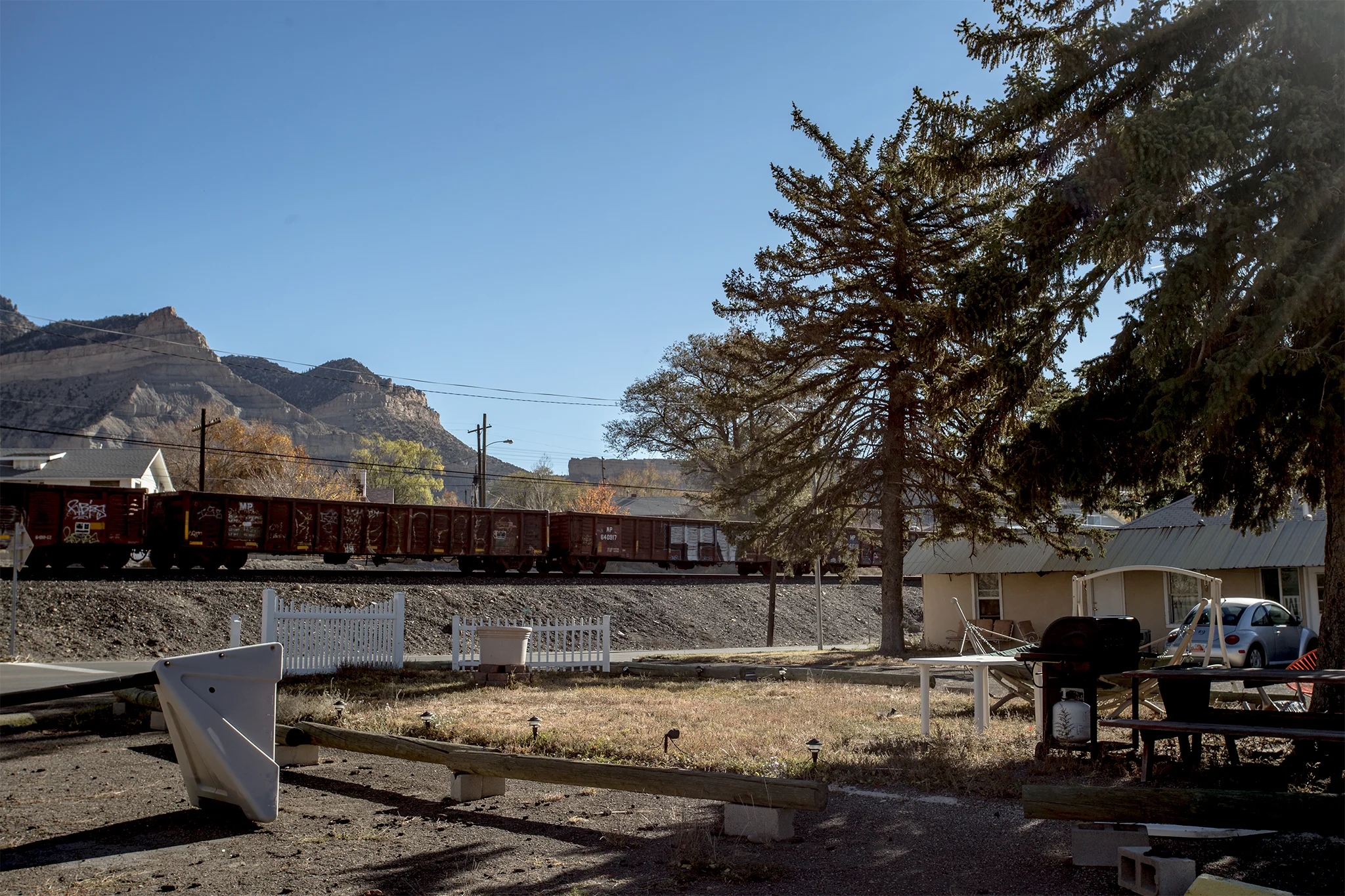
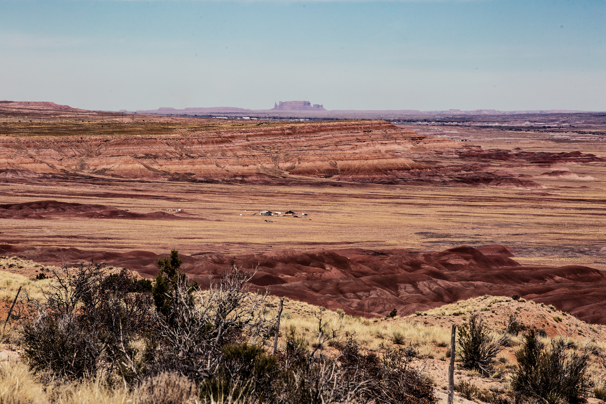
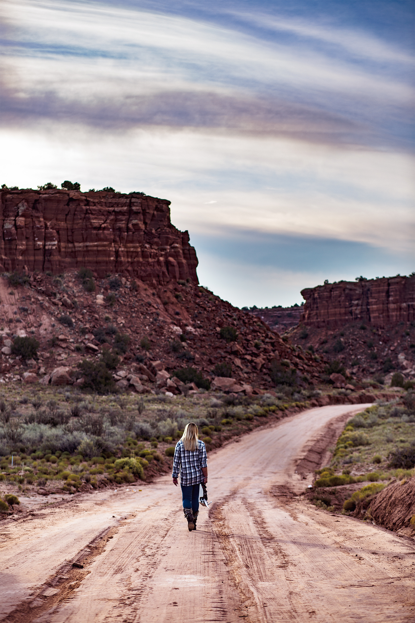
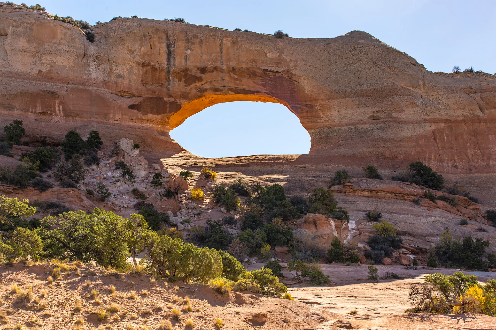
A three hour or so drive south to Moab in the morning.

* Don't try the grits.