New Mexico

Day Eleven - Socorro to Truth or Consequences

We thought we go and see the VLA (Very Large Array) of radio-telescopes so we drove to the operations centre who then told us the actual telescopes are an hour’s drive away - and not in the direction we needed to go.

Into Magdalena because it was supposed to be a ghost town. Seeing a sign for a Visitor’s centre as we drove in made us think it probably was that… ghosty. We topped up with petrol, and being an old-school pump I had to remember to flick the metal switch to on.

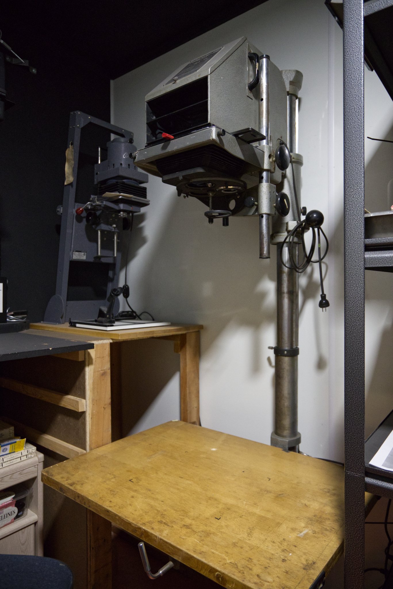
While we worked out where to drive to next we had a coffee at Espresso. We had a nice chat with the owner who likes analogue photography and showed me his dark room (one of his enlargers below). It seemed fitting to take his portrait with the analogue camera I had with me (also, below - the camera not the photo as that’ll be developed when we get back.) He suggested for a ghost town we drive a couple of miles to Kelly.

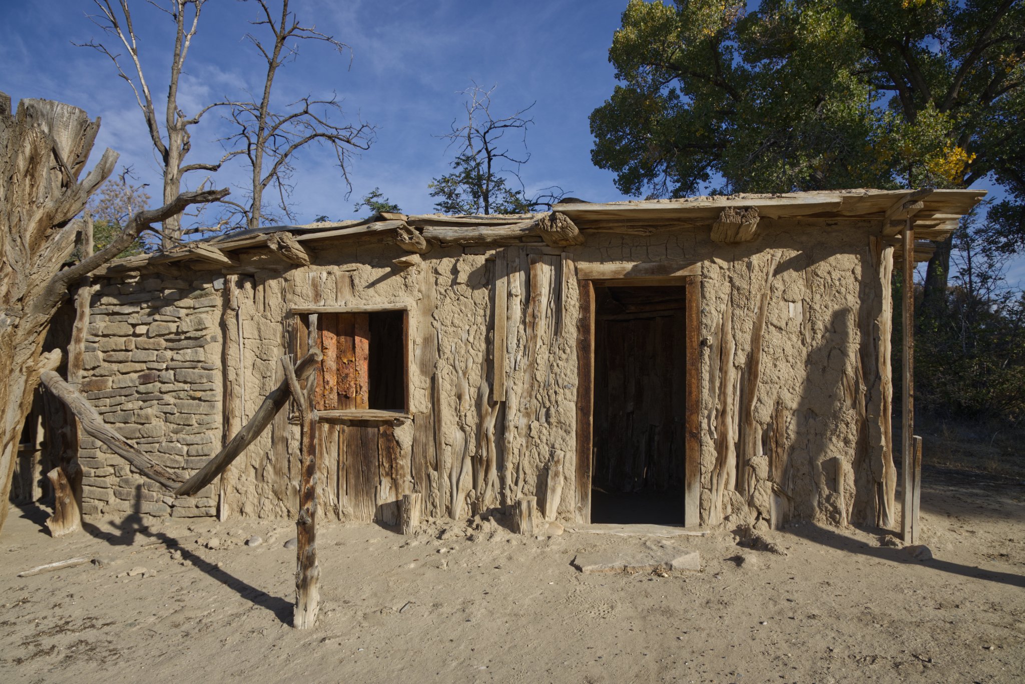
Somewhat of a bumpy road up the hill to Kelly.

“In 1883, about 2.5 miles (4.0 km) south of Magdalena, the Kelly Mine opened in the community of Kelly. The Kelly Mine produced lead, silver, zinc and smithsonite until the markets collapsed. Kelly's population reached nearly 3,000 during the mining boom. The last residents of Kelly departed in 1947 and it is now a ghost town. The Kelly Church still stands and is the site of periodic festivities.” — Wikipedia

To our fun motel in Truth or Consequences. The Rocket Inn.

Day Eight - Taos to Santa Fe

“Taos Pueblo is an ancient pueblo belonging to a Taos-speaking Native American tribe of Puebloan people. It lies about 1 mile north of the modern city of Taos, New Mexico. The pueblos are one of the oldest continuously inhabited communities in the United States. This has been designated a UNESCO World Heritage Site.”

“We have lived on this land since days beyond history’s record, far past any living memory, deep into the time of legend. The story of my people and the story of thsi place are one single story. No man can think of us without thinking of this place. We are always joined together — Tribal Leader”. — From leaflet at site.

We had some Fry Bread (with cinnamon).

“The tragic elements of Indian frybread history start hundreds of miles away from the traditional and familiar lands of the Navajo where they could forage, hunt, and grow familiar crops. Here, in this new and desolate place, the Navajo starved. They were issued government rations of white wheat flour, salt, and lard, from which they created the recipe for frybread. This ‘new’ bread recipe (see Mexican Frybread Connection section below) and cooking method (deep frying) helped them survive their time on the reservation until an 1868 treaty allowed them to return home to Arizona.

The story was a familiar one among other Native American communities who experienced similar relocations and internments across the United States. Native Americans received unfamiliar foods in the relocation camps where low-income communities continue to receive federal disbursements today. This means that for many Native Americans, fry bread history links generation with generation, connecting the present to the painful narrative of Native American history and relocation.

Frybread’s significance and relationship to Native Americans is described by some as complicated. Although frybread is often associated with “traditional” Native American cuisine, some Native American chefs reject it as a symbol of colonialism. Still others have described it as a symbol of “perseverance and pain, ingenuity and resilience”; a symbol of resilience as it developed from necessity using government-provided flour, sugar, and lard. because the government had moved the people onto land that could not support growing traditional staples like corn and beans.” — https://www.crazycrow.com/


More nice driving through mountains as we headed towards Santa Fe.

Seeing a sign for Los Alamos we veered off, drove up the Eastern flank of the Pajarito Plateau of the Jemez Mountains.

The main gate looks impressive but really it’s a toilet (shhh).

Los Alamos (Spanish: Los Álamos, meaning The Cottonwoods) is a census-designated place in Los Alamos County, New Mexico, United States, that is recognized as one of the development and creation places of the atomic bomb—the primary objective of the Manhattan Project by Los Alamos National Laboratory during World War II. The town is located on four mesas of the Pajarito Plateau, and had a population of about 13,200 as of 2020. It is the county seat and one of two population centers in the county known as census-designated places (CDPs); the other is White Rock. — Wikipedia

Day Seven - Farmington to Taos

Almost out of Farmington we saw a sign for the Salmon Ruins so we popped in.

We pulled over because there was a toilet and saw a big bridge. Only half way across when lots of people were taking photos did we realise is was going over the Rio Grande.

The Rio Grande Gorge Bridge, locally known as the "Gorge Bridge" or the "High Bridge", is a steel deck arch bridge across the Rio Grande Gorge 10 miles northwest of Taos, New Mexico, United States. Roughly 600 feet above the Rio Grande, it is the seventh highest bridge in the United States.

Driving through the mountain switchbacks we noticed an all-too-realistic person hanging from someone’s porch arch with a board saying; “I still do it the old-fashioned way.” We didn’t stop to ask what the old-fashioned way was.

Coffee stop but it was five to three and they were closing. Who closes at 3pm? Either way they let us buy a coffee and drink it outside.

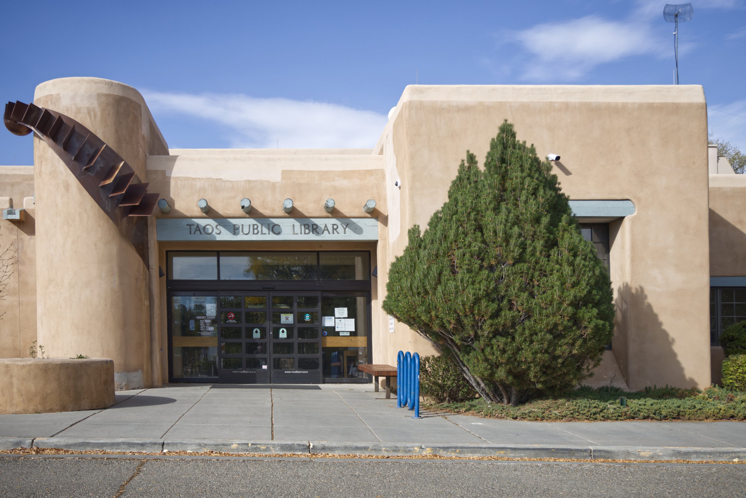
Into Taos and we got some bookmarks from the library thanks to Damian.

Hotel.